
GPS Coordinates from Photo
GPS Coordinates from Photo helps you find latitude and longitude from an image by reading EXIF location metadata in your browser.
Photo location viewer details such as decimal coordinates, map links, altitude, and missing-GPS explanations appear after you choose an image.
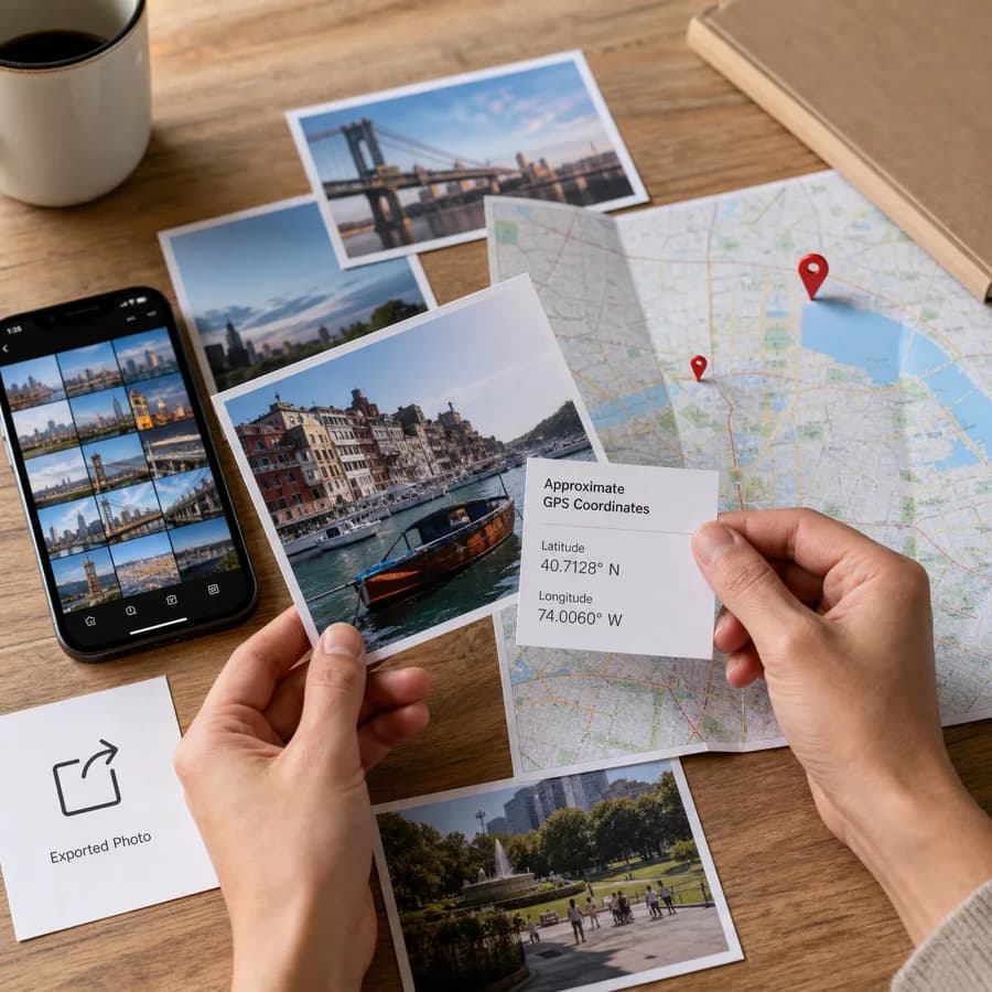
Choose a photo
JPG, JPEG, JFIF, PNG, WebP, HEIC, HEIF, TIFF, DNG, AVIF, or JPEG XL files. Large photos are scanned from the metadata header instead of being fully loaded.
Location result
EXIF GPS coordinates from the selected file.
Sample result preview
A generated preview of the kind of metadata result this tool is designed to surface: coordinate formats, altitude when available, and map actions in one place.
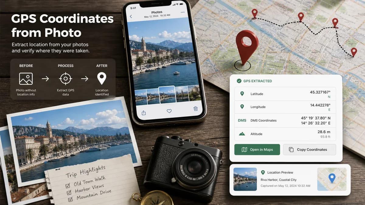
Photo GPS Metadata Guide
What photo GPS coordinates are
Many smartphones and GPS-enabled cameras can store location metadata inside an image file. The location is usually saved as EXIF GPS latitude and longitude, sometimes with altitude, capture direction, map datum, and capture time.
A viewer can convert those hidden tags into decimal coordinates that work in map apps. Some tools also show degrees-minutes-seconds because that is the format commonly used inside EXIF GPS tags.
Why a photo may not show a location
A missing result does not mean the tool failed. It usually means the image file does not contain GPS metadata that can be read from the local file.
- Location tagging was turned off in the camera or phone settings.
- The image came from a social network or messaging app that stripped EXIF metadata.
- The file is a screenshot, export, resized image, or edited copy without original metadata.
- The camera never had GPS, or the GPS signal was unavailable when the photo was taken.
Supported photo formats
The GPS reader accepts common photo and image containers: JPG, JPEG, JFIF, PNG, WebP, HEIC, HEIF, TIFF, TIF, DNG, AVIF, and JPEG XL.
Support still depends on the file containing readable EXIF GPS or equivalent location metadata. Screenshots, resized exports, social-media downloads, and many edited copies usually have no GPS tags left to extract.
Privacy before sharing geotagged photos
GPS metadata can reveal exact places such as a home, hotel, workplace, school, or travel route. Before publishing original image files, check whether location tags are still present and remove them when the location should stay private.
This tool reads the selected file in the browser. It does not need an upload endpoint to detect GPS tags, so the photo content can stay on the device while you inspect the metadata.
Using coordinates correctly
Decimal degrees are the easiest format for Google Maps, Apple Maps, OpenStreetMap, spreadsheets, and GIS tools. Positive latitude means north of the equator, negative latitude means south, positive longitude means east of Greenwich, and negative longitude means west.
EXIF coordinates are only as accurate as the original device and signal. Treat location results as metadata evidence, not as a guarantee that the image content itself proves the exact place.
Compare GPS Coordinates from Photo
Review this tool beside related online utilities, dedicated apps, and adjacent workflows.
Compare GPS Coordinates from Photo with other toolsOpen Source Alternatives
Compare this focused browser workflow with proprietary software and online tools that solve similar jobs.
View GPS Coordinates from Photo open source alternatives